
Bathymetric Surveying

Mapping What Lies Beneath — With Clarity and Confidence
We provide high-accuracy bathymetric surveys to map the shape and depth of underwater environments including lakes, rivers, ponds, retention basins, and coastal areas. Using hydrographic-grade sonar and RTK GNSS positioning, we deliver precise subaqueous terrain data for engineering, environmental, and land development applications.

What We Offer
Our bathymetric surveys are performed using advanced sonar and GNSS equipment to ensure high-resolution, georeferenced data. Ideal for both small-scale and complex aquatic projects, we generate deliverables that support confident decision-making.
  • High-resolution depth mapping with single-beam sonar
  • Integration with RTK GNSS for precision geolocation
  • Operates effectively in high turbidity and active construction zones
  • 3D bottom surface models and sedimentation analysis
  • Volume calculations for dredging and storage capacity
  • Rapid data processing using Hydromagic with KML exports
9b5c060e-1ee8-11f0-83b5-0242ac110002-img_2726.jpg

Applications
Our bathymetric services are used in a wide range of sectors where understanding underwater terrain is critical to success.

  • Dredging planning and volume estimation
  • Stormwater and retention pond analysis
  • Construction and development impact assessments
  • Sediment infill monitoring
  • Environmental compliance and permitting
  • Coastal and inland water mapping
1.png

Case Study: Improving Construction Survey Data with Hydrographic Innovation

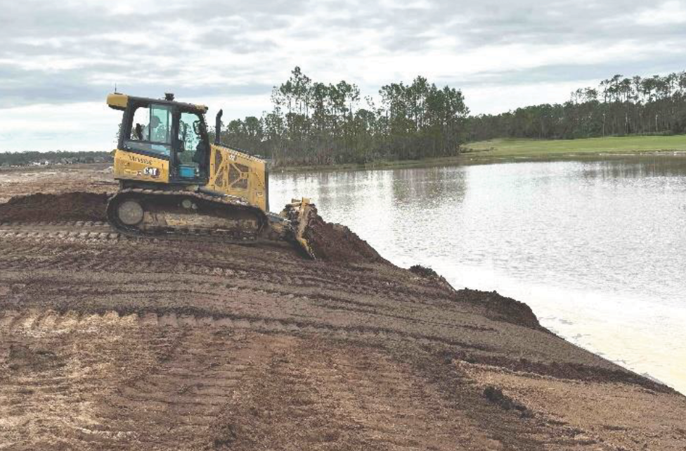
In 2024, we conducted a bathymetric survey at the LPGA International golf course in Daytona Beach, Florida, where hurricane runoff had introduced significant sediment into a retention pond. The site, under active construction, required immediate sediment volume analysis.
Using the CEE ECHO™ sonar with RTK GNSS and Hydromagic software, our team completed the survey in just three hours. We delivered clean, edited elevation data—identifying both the sediment layer and original pond bottom—on the same day. This high-resolution data enabled engineers to make timely, informed decisions for ongoing grading and development.

4.png

Why Choose AOI Solutions for Bathymetric Surveys?

Our expertise, equipment, and fast turnaround time make us the go-to provider for underwater surveying in Florida and beyond.

  • worker.png
    Skilled hydrographic technicians using industry-grade sonar and GNSS

  • ecology.png
    Same-day data turnaround in many cases

  • technology.png
    Detailed deliverables including TIN surfaces, cross-sections, and GIS exports

  • review.png
    Trusted partner for engineers, developers, and environmental consultants

9b5c060e-1ee8-11f0-83b5-0242ac110002-img_2726.jpg

Ensure your next construction project is accurate
Contact us today to discuss how we can help with your surveying and mapping needs!