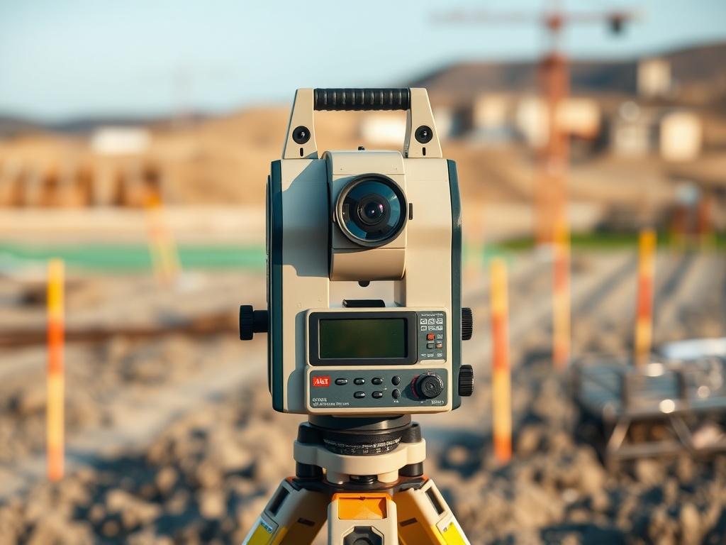
Accurate land surveys are crucial for numerous projects, ranging from construction to establishing legal property boundaries. Discover the role of surveyor mapping tools in providing precise data that drives informed decision-making and enhances project outcomes. As the backbone of practical land assessments, these tools combine advanced technology and expert knowledge to ensure that every measurement is reliable and valid. By understanding their significance, stakeholders can better appreciate how surveyor mapping transforms raw data into actionable insights.
Surveyor mapping tools play a crucial role in delivering precise measurements and reliable data for various land assessments. These tools, which include traditional instruments such as theodolites and modern technologies like GPS and GIS, are essential for accurately measuring distances, angles, and elevations. By utilizing these instruments, surveyors can create detailed maps and models that reflect the actual characteristics of the land. This level of accuracy is crucial for a wide range of applications, from environmental studies to urban planning, as it enables stakeholders to make informed decisions based on factual information.
Further, the evolution of surveyor mapping tools has significantly enhanced the efficiency and reliability of land assessments. Advanced technologies, such as 3D laser scanning and drone mapping, enable surveyors to capture comprehensive visual data in a fraction of the time it would take using conventional methods. As a result, surveyors can provide quicker turnaround times for clients while maintaining the necessary precision required for legal and regulatory compliance.
Surveyor mapping relies on an array of advanced tools and technologies to ensure accuracy and efficiency in construction projects. One of the cornerstone tools is the total station, which integrates electronic distance measurement (EDM) with an optical telescope for measuring angles. This device allows surveyors to collect precise coordinates, which are essential for establishing project boundaries and layouts. Additionally, Global Positioning System (GPS) technology has revolutionized the field by enabling surveyors to gather location data with unprecedented accuracy. By utilizing GPS receivers, surveyors can quickly determine site positions, create site maps, and monitor position changes over time, significantly streamlining the surveying process.
Another vital technology in modern surveyor mapping is Geographic Information Systems (GIS), which provides a platform for mapping and analyzing spatial data. GIS allows surveyors to visualize terrain, assess environmental impacts, and integrate various datasets, enhancing decision-making during project planning. Drones equipped with high-resolution cameras and LiDAR sensors also play a crucial role in capturing detailed topographical information, especially in challenging terrains. By combining these innovative tools, surveyors can deliver comprehensive and accurate mapping solutions that not only meet the demands of construction projects but also ensure compliance with regulatory standards.
Accurate surveyor mapping plays a crucial role in establishing legal property boundaries. Surveyors utilize advanced tools and techniques to create precise measurements that delineate the exact lines of ownership. These well-defined boundaries prevent disputes among neighboring property owners and provide clarity during transactions. When stakes are high, both in legal terms and financial investments, having an accurate survey ensures that property rights are upheld, and any encroachments are correctly identified and addressed.
Further, precise surveyor mapping is essential in protecting the interests of both buyers and sellers during real estate transactions. As regulations and zoning laws constantly evolve, understanding the specific dimensions of a property becomes crucial. A detailed survey can unveil potential issues, such as easements or encroachments, ultimately leading to informed decision-making. Without accurate mapping, property boundaries can remain ambiguous, leading to conflicts that may escalate into legal battles and costly repercussions.
If you’re navigating complex terrain and need more than just a line on a page, you require a system built on precision, foresight, and innovation. AOI Solutions is where mapping meets meaning. Contact us to find out how we can support your project with the tools of tomorrow, today.