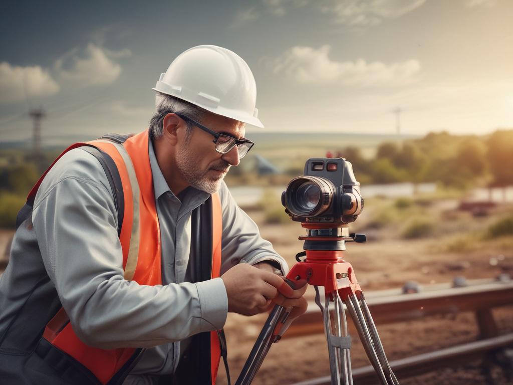
Mapping has never just been about maps. Not really. It’s about orientation. Authority. Ownership. Exploration. The act of mapping is, in essence, the act of saying: this is here, I am here, and here is what that means.
And the tools we’ve used to do it? They’ve changed radically—yet the instinct behind them remains remarkably primal.
The earliest maps were not tools of accuracy. They were tools of belief. Babylonian clay tablets etched with celestial and territorial guesses. Medieval charts adorned with sea monsters, angels, and unknowable voids. These weren’t guides in the modern sense—they were declarations. Statements of power and mythology dressed up as geography.
Then came mathematics. Instruments. Survey chains. Trigonometry. By the Enlightenment, mapping was no longer just symbolic—it was scientific. A game of angles and measurements. It was the age of topographic obsession, where borders hardened and empires marched forward, clipboards in hand. But even then, maps lied.
The 20th century cracked open a new vantage point: above. Aerial photography during wartime revealed a terrifying power—mapping not from within, but from overhead. The god’s-eye view. Every trench, road, and treetop visible from 10,000 feet. Once the war ended, that same view reshaped how we planned cities, harvested forests, tracked floods, and imagined infrastructure.
But satellites? They made us omniscient. From orbit, the Earth became a swirling matrix of data. Remote sensing evolved—infrared signatures, radar echo mapping, multispectral analysis. Suddenly, we weren’t just seeing where things were. We could see what they were doing, how they were changing, and even why. Mapping had entered its predictive phase.
Then came the big bang: GIS. Geographic Information Systems didn’t just digitize maps—they detonated them. No longer static, no longer bound to paper, maps became living systems. Every parcel of land, every layer of data—from traffic patterns to soil acidity—stacked and sliced, queried and rendered. It was spatial logic with a pulse.
And it didn’t stop there. LiDAR lasers swept landscapes with billions of precise data points. Drones skimmed treetops and tower cranes. Machine learning began recognizing features humans missed—fault lines, erosion paths, man-made inconsistencies. Mapping became not only faster and more accurate, but smarter. And deeply, deeply immersive.
Today’s mapping systems do more than show where things are. They tell stories. They warn. They simulate outcomes. They don’t just reflect the world—they interpret it.
Planning a coastal development? You can see how sea-level rise in 20 years will reshape your shoreline. Monitoring a landfill site? Watch it shift, compress, and expand in near real time. Need to overlay zoning restrictions with historical flood data and projected utility grid expansions? You’re three clicks away.
And the best part? The map updates itself. Automatically. Relentlessly. We live in a world where the landscape breathes—and our mapping tools breathe with it.
What’s wild is how quietly it happened. Most people still think of maps as background props. But behind the scenes—across industries like construction, mining, coastal monitoring, site development, environmental compliance—mapping is now the invisible engine. The logic grid. The source of spatial truth.
And the next wave? Think machine-driven terrain analysis. Augmented reality overlays. Predictive geospatial modeling. AI-powered interpretation of satellite and drone data. The map of the future won’t just tell you where you are. It’ll tell you where you’re headed—and what’s likely to happen when you get there.
If you’re navigating complex terrain—literal or strategic—and you need more than a line on a page, you need a system built on precision, foresight, and innovation. AOI Solutions is where mapping meets meaning. Contact us to find out how we can support your project with the tools of tomorrow, today.