Boundary disputes can escalate quickly, leading to costly and stressful legal battles. Aerial view maps emerge as a powerful tool in this arena, offering a bird’s-eye perspective that can clarify property lines and enhance our understanding of land ownership. By accurately capturing spatial relationships and geographical features, these maps provide essential evidence that helps define and resolve disputes over property boundaries.
The value of aerial view maps extends beyond mere visuals; they serve as precise resources for land surveys and dispute resolution. Their detailed imagery enables property owners, surveyors, and legal professionals to access critical information that can make or break a case.
This blog post will explore how aerial view maps effectively define property boundaries, highlight their advantages in resolving disputes, and explore their practical application in conducting accurate land surveys.
Understanding the Role of Aerial View Maps in Defining Property Boundaries
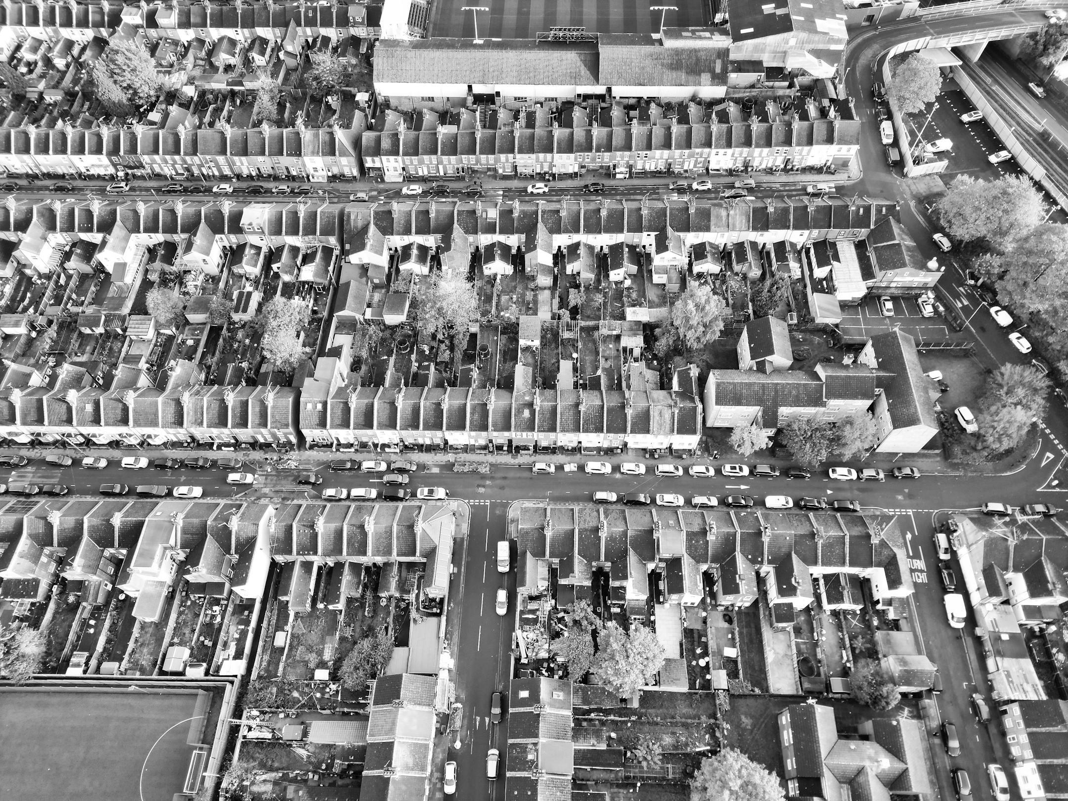
Aerial view maps are crucial in accurately defining property boundaries by providing a bird's-eye perspective of the land. These maps incorporate detailed imagery and data that reveal land features, topographical changes, and existing structures, offering a comprehensive view that traditional methods often overlook. When landowners face boundary disputes, aerial maps serve as a reliable source of evidence, allowing for more precise delineation of property lines based on visual representation rather than verbal descriptions or outdated surveys. This visual clarity can significantly prevent misunderstandings and misinterpretations among neighbors regarding property limits.
In addition, aerial view maps utilize advanced technology, such as Geographic Information Systems (GIS) and high-resolution satellite imagery, to deliver precise measurements and data. This high level of detail enables property owners, surveyors, and legal professionals to analyze boundary lines effectively. By comparing historical and current aerial maps, stakeholders can identify changes over time, such as encroachments or land-use alterations, that can impact property ownership claims.
Benefits of Aerial View Maps in Resolving Boundary Disputes
Aerial view maps are an authoritative tool in resolving boundary disputes by providing a clear and comprehensive visual representation of property lines. These maps capture detailed and up-to-date images, showcasing features such as fences, buildings, and natural landmarks that can significantly impact the determination of property boundaries. Property owners, surveyors, and legal professionals can rely on this precise data to identify overlaps and discrepancies in boundary claims, leading to more informed discussions and negotiations. The visual nature of aerial maps allows for more straightforward interpretation and communication, reducing misunderstandings that often lead to disputes.
In addition, aerial view maps offer a level of precision that traditional boundary documentation may lack. While historical records and sketches can provide some insight, they may not accurately depict current conditions or changes. Aerial imagery displays the land as it is, making it easier to visualize and thus resolve conflicts swiftly. By incorporating aerial maps into the dispute resolution process, stakeholders can base their discussions on concrete evidence, potentially avoiding lengthy legal battles and fostering amicable agreements.
Leveraging Aerial View Maps for Accurate Land Surveys
Aerial view maps provide an unparalleled perspective for conducting precise land surveys. By capturing high-resolution images from above, these maps show the terrain, vegetation, and any physical markers that might define property lines. Surveyors can utilize these maps to pinpoint exact boundaries and ensure their measurements align with established legal descriptions. This clarity helps prevent costly misunderstandings and ensures that all parties have access to the same reliable information, fostering transparency as they navigate the complexities of boundary disputes.
In addition to their application in land surveys, aerial view maps serve as crucial tools in dispute resolution. These maps can act as visual evidence during legal proceedings or negotiations when disagreements arise over property boundaries. They allow property owners, surveyors, and legal professionals to visualize the disputed areas and refer to precise data rather than relying on outdated or ambiguous information.
Partner with AOI Solutions for Aerial Mapping Services
Aerial view maps aren’t just tools—they offer a whole new level of understanding and protection of the environment. If your organization is ready to leverage aerial mapping, AOI Solutions is here to help.
Contact us today to learn how our aerial mapping solutions can help with boundary disputes!