Having accurate information is crucial for success in real estate development. Aerial maps with property lines are powerful for developers, offering a clear view of land boundaries and topographical features. By leveraging these maps, real estate professionals can assess their development sites precisely, ensuring they make informed decisions that align with legal regulations and community needs. As the demand for innovative space design and sustainable development continues to grow, understanding how to utilize aerial maps effectively becomes an indispensable skill for today’s developers.
This blog post will explore the multifaceted advantages of aerial maps in real estate development. We’ll highlight how these maps empower developers to define land boundaries accurately, confidently plan construction projects, and navigate the complexities of property acquisition and zoning regulations.
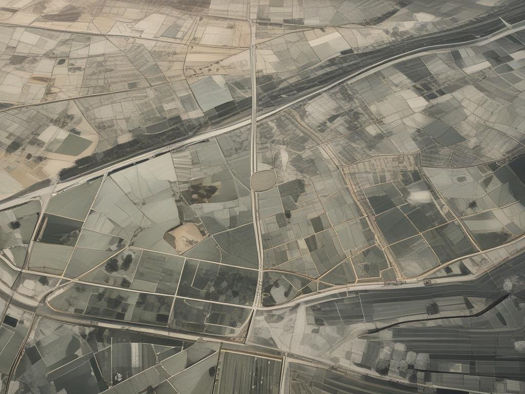
Understanding Land Boundaries
Aerial maps serve as invaluable tools for real estate developers to understand land boundaries. By providing a bird's-eye view of properties, these maps allow developers to visualize a parcel's exact dimensions and shape. This aerial perspective enables them to identify adjacent properties and key features such as roads, waterways, and geographical landmarks that might influence their projects. Additionally, aerial maps often include detailed overlays of property lines, making it easier to understand legal boundaries and easements that could impact development plans.
Further, using aerial maps enhances the accuracy of surveys and legal documentation. To resolve discrepancies, real estate developers can compare these maps with official property deeds and zoning regulations. With accurate land boundary information at their fingertips, developers minimize the risk of disputes and ensure compliance with local laws.
Planning Construction Effectively: Utilizing Aerial Maps with Property Lines
Developers can visually assess the land's topography, layout, and other critical features before breaking ground. By referencing these maps, developers can ensure that their construction plans adhere to established property boundaries, minimizing the risk of encroachment disputes with neighboring properties. This also allows for a thorough evaluation of the available space, as developers can strategically position buildings, driveways, and landscaping to maximize utility and aesthetic appeal.
In addition, aerial maps facilitate effective zoning compliance, enabling developers to align their projects with local regulations. By identifying zoning classifications directly on the maps, developers can ascertain allowed land uses, building heights, and density restrictions. This vital information empowers developers to modify their construction plans proactively, ensuring alignment with legal requirements and neighborhood guidelines.
Informed Decision-Making: How Aerial Maps Aid Property Acquisition and Zoning Analysis
These maps provide a bird's-eye view of the land, allowing developers to visualize property lines and surrounding areas in context. This visual perspective helps developers identify potential limitations or challenges related to zoning regulations before purchasing. They can examine how nearby land uses might affect their development plans and assess the compatibility of their proposed projects with existing zoning classifications. By analyzing such details, developers can avoid costly mistakes and ensure their projects align with local regulations.
Additionally, aerial maps are valuable for conducting due diligence on prospective properties. Developers can easily compare multiple properties, assessing their suitability based on dimensions, proximity to amenities, and overall layout. They can pinpoint specific features such as roads, waterways, and infrastructure, impacting zoning and development potential. By leveraging aerial maps, real estate developers equip themselves with comprehensive, reliable information that aids in strategic planning. The ability to make data-driven decisions fosters confidence and minimizes risks, ultimately leading to successful property acquisitions and streamlined development projects.
Ready to Get Aerial Maps for Property Lines?
Are you interested in exploring how aerial mapping can optimize your next project? Contact Area of Interest Solutions today to unlock the full potential of cutting-edge mapping technology.