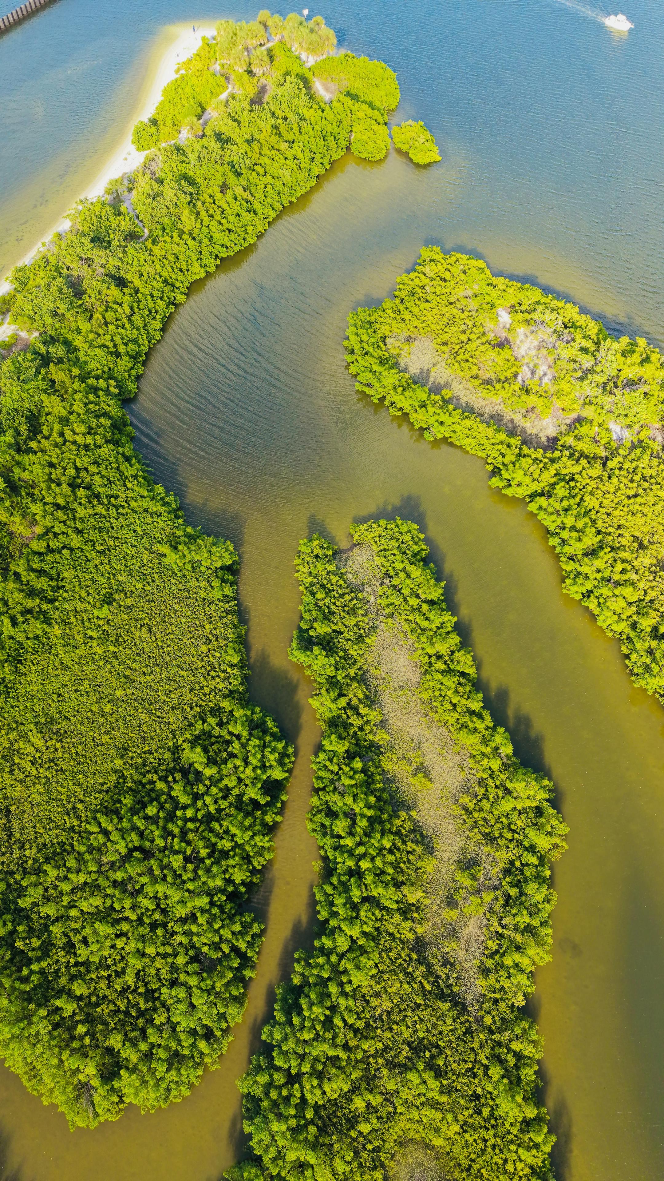
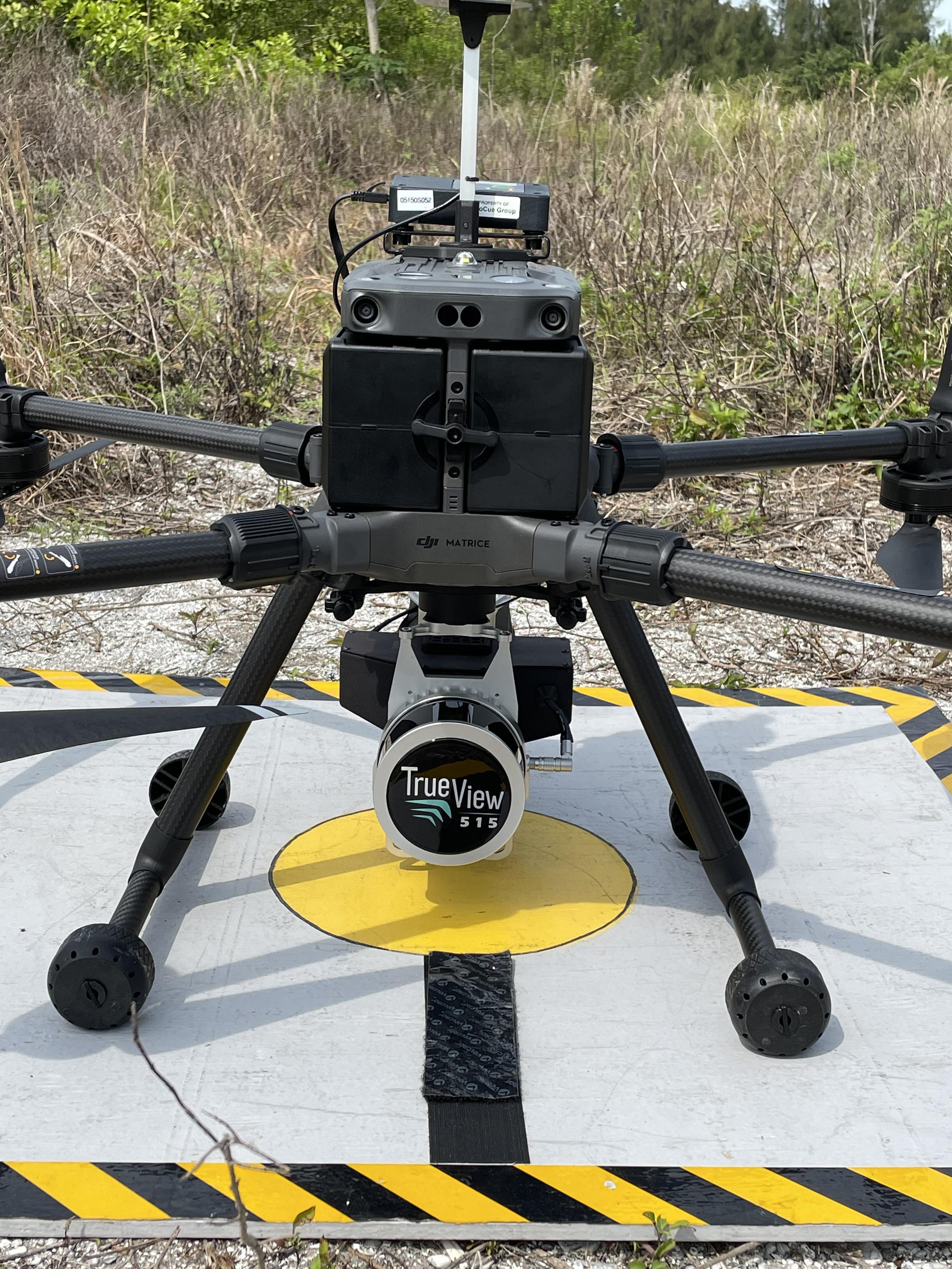
AOI Solutions uses advanced drone technology and geospatial expertise to deliver aerial mapping data that supports smarter planning and decision-making.
From high-resolution imagery to mapping outputs that improve visibility across a site, our aerial mapping services help clients document conditions, monitor progress, and better understand the land they are working with.
Traditional field methods remain essential, but aerial mapping adds speed, coverage, and perspective. It helps project teams gather detailed site information more efficiently, improve documentation, and evaluate conditions across larger areas without relying on ground access alone.
For many projects, aerial mapping can improve visibility, reduce time in the field, and support faster project decisions.