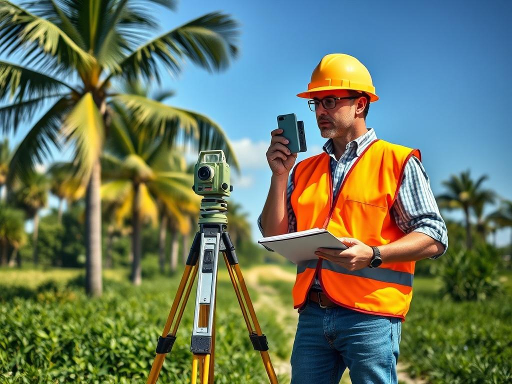
Breaking ground on a new build feels like the exciting part, but skipping a step before that can turn excitement into a costly headache. A land surveyor plays a critical role in confirming exactly what you're building on before permits, plans, or construction crews get involved. In Florida, where flood zones, shifting property lines, and coastal regulations are common, that role becomes even more important. Understanding what a surveyor actually checks can save you from expensive surprises down the road.
What Does a Land Surveyor Actually Do?
A land surveyor measures and maps a piece of property to establish its exact boundaries, elevation, and physical features. This information becomes the foundation for everything that follows, from architectural plans to permit approvals. Surveyors use specialized equipment and legal records to produce documentation that's accepted by local governments, lenders, and title companies. Without this step, builders and homeowners are essentially guessing at details that carry real legal and financial weight.
What a Surveyor Checks Before You Build
A professional survey covers far more than just where your property line falls. Each element plays a role in whether your project moves forward smoothly or runs into delays later.
Property Boundaries
Boundary surveys confirm the exact legal lines of a property, which prevents disputes with neighbors and ensures new construction doesn't encroach on adjacent land. Old records or fences don't always reflect where the true boundary sits. A surveyor uses official measurements and legal descriptions to settle any question marks before construction begins. This step alone can prevent costly legal battles down the line.
Elevation and Flood Zones
Florida's flat terrain and coastal exposure make elevation certificates a critical part of the survey process. These documents confirm how a property's elevation compares to base flood levels, which directly affects insurance requirements and building codes. Skipping this step can lead to unexpected insurance costs or construction that doesn't meet local flood regulations. Getting accurate elevation data early helps avoid those issues altogether.
Easements and Setbacks
Many properties come with easements or setback requirements that limit where structures can be built. A surveyor identifies these restrictions and marks them clearly so building plans stay compliant from the start. Missing an easement during planning can force costly redesigns once construction is already underway. Catching these details early keeps a project on schedule and within budget.
The Cost of Skipping a Survey
Some property owners try to save money by skipping a survey or relying on outdated documents. In Florida, that decision often ends up costing far more than the survey itself would have. Common consequences of skipping this step include:
- Construction delays caused by boundary or permit disputes
- Fines or required rebuilds due to setback violations
- Increased insurance costs from incorrect elevation assumptions
- Legal disputes with neighboring property owners
Why Florida Properties Need Extra Attention
Florida's combination of flood risk, hurricane exposure, and dense coastal development makes accurate surveys especially important. Local building codes are often stricter than in other states, particularly around elevation and flood zone requirements. Properties near water or in older neighborhoods are also more likely to have outdated or inaccurate boundary records. These factors make working with an experienced local surveyor even more valuable.
When to Schedule a Survey
The best time to schedule a survey is before finalizing architectural plans or submitting for permits. Waiting until construction is already planned can lead to costly redesigns if boundary or elevation issues come up later. Property owners should also consider a new survey when purchasing land, even if a previous survey exists, since records can become outdated over time. Getting this step right from the start sets the entire project up for success.
Talk to Our Team Before You Build
Our team at AOI Solutions Inc. knows how much is riding on getting the details right before construction begins. We provide accurate, thorough surveys that account for Florida's specific flood zone, elevation, and boundary requirements so your project starts on solid ground. Whether you're planning a new build or purchasing property, we can help you avoid costly mistakes before they happen. Reach out today and let us help you take the guesswork out of your next build.